

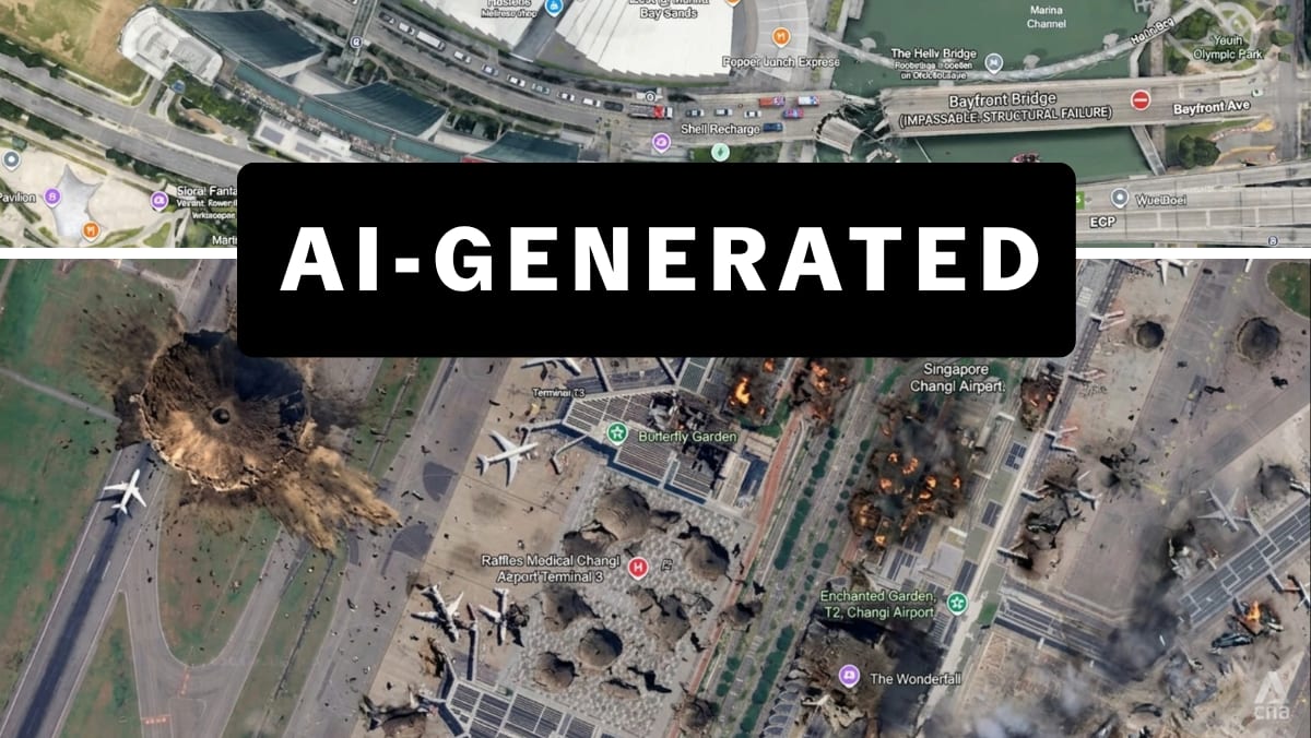
By uniting Google Earth with Nano Banana 2, genuine satellite images were being edited. If you wanted to collapse the Eiffel Tower, the points of reference around the disaster would still have aligned with the accredited source imagery. No oddities and errors would be found across the full image, thus providing much less for the fact checkers to go on when validating their sources.
This validation process was used by the independent investigative journalism organisation Bellingcat to show that the Russian government had faked satellite imagery which suggested Malaysia Airlines MH17 had, in fact, been shot down by a Ukrainian fighter jet in July 2014. The headline of the Bellingcat article explaining its approach asked: “Who to trust, Google or the Russian MoD?”
Until the recent Google Earth AI furore, the answer to that question was in little doubt. As Google’s former geospatial technologist wrote: “We used to describe Google Earth and Maps as a mirror of the real world … That absolute bedrock of trust was structurally shattered this week.”
TRUST BUILT OVER CENTURIES
Our trust in maps has been built up over centuries. Trust in Google Earth has taken just two decades (it was originally launched as EarthViewer3D on Jun 11, 2001 by a US tech startup that Google bought three years later).
After countless pioneering refinements since the tool’s relaunch on Jun 28, 2005, Google risked flooding the internet with more AI slop and fake images that run counter to what makes Google Earth, and maps in general, so valuable.
But Google’s rapid climbdown offers a welcome reminder about the values that have been at the heart of mapmaking throughout history. In the clamour to insert AI technology in every aspect of our lives, even the most evangelical tech companies still value trust above everything else.
James Cheshire is Professor of Geographic Information and Cartography in the UCL Department of Geography and Director of the UCL Social Data Instititute. This commentary first appeared on The Conversation.
